Vector vs. raster maps
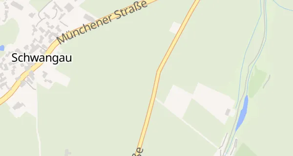
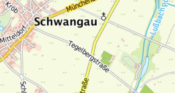
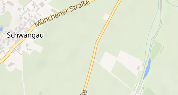
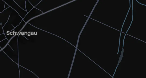
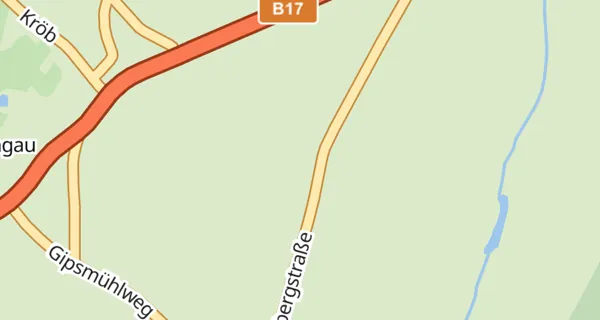
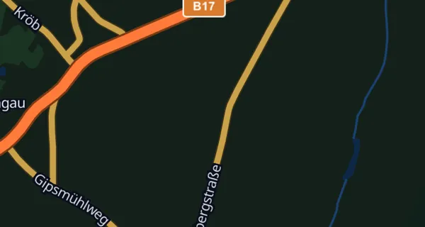
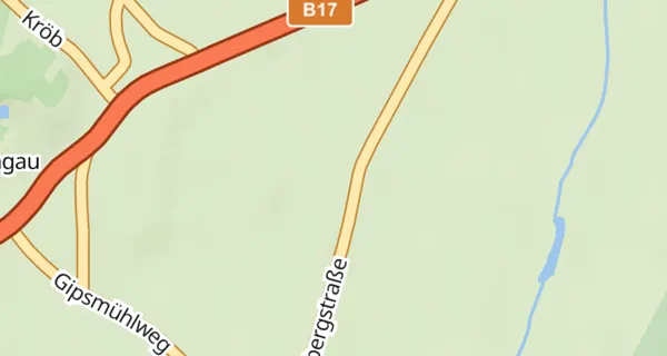
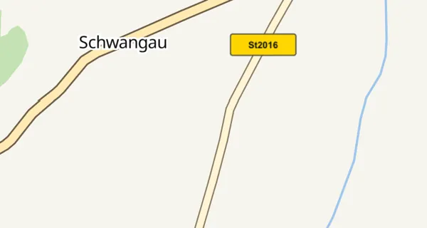
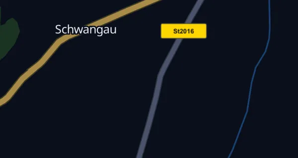
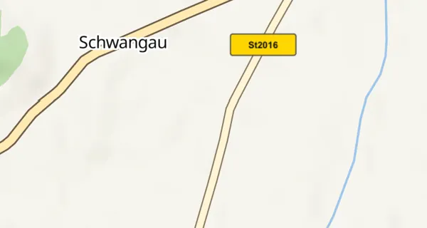
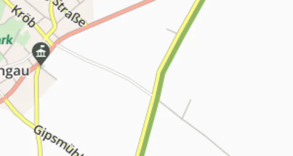
Vector maps are rendered live on your device: razor-sharp at every zoom level, rotatable, tiltable into 3D, with day/night palettes. Raster maps are pre-rendered images — they look exactly like the original (e.g. official topographic maps), but cannot change their styling.
See also: How maps get into the app: tiles and tile servers · Why the maps are streamed live from the internet
The map catalog
Vector: OSM Liberty (and more OSM styles), Dark Matter, Azure day/night and HERE day/night — each with optional relief. Raster: Azure road/satellite/hybrid, HERE explore/topo/satellite, OpenTopoMap, TopPlus and Michelin. Tip: if you route with HERE, use the HERE vector map — the displayed route then matches the map material exactly, because route and map come from the same source.
See also: Map style · Map licences: Azure, HERE — and why there is no Google Maps
3D maps and globe
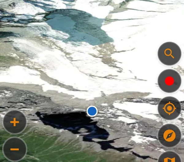
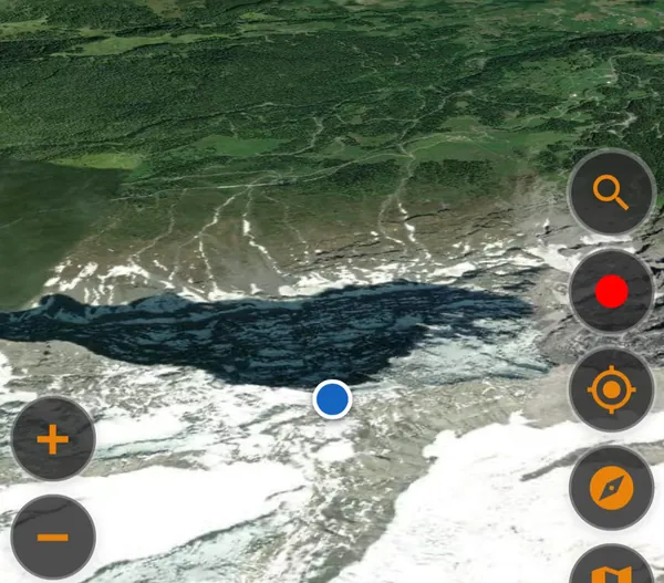

Every vector map can drape itself over real elevation data: mountains rise in 3D, and zooming far out turns the map into a globe. The satellite maps work in 3D too — an experience reminiscent of Google Earth. Great for studying a mountain stage beforehand.
See also: Elevation model, hillshading and 3D · 3D flight: Eiger, Mönch & Jungfrau
Tilting the map
During navigation the map can tilt into your direction of travel for a forward-looking 3D view. You set the tilt angle under Settings → System settings → Map tilt — separately for portrait and landscape, choosing from five angles (portrait defaults to 75°, landscape to the maximum). The right angle is applied automatically; you can override it any time with a two-finger up/down gesture.
See also: 3D maps and globe
OSM Liberty
The OpenStreetMap-based all-rounder: clear, fast and free. Available plain, with relief shading, or in full 3D.
See also: Vector vs. raster maps · How maps get into the app: tiles and tile servers
Dark Matter
A deliberately dark OSM style — easy on the eyes at night and perfect for night rides.
Azure Maps
Microsoft's map in day and night variants, optionally with relief. Pairs naturally with Azure routing — for example the curvy motorcycle profiles.
See also: Map licences: Azure, HERE — and why there is no Google Maps
HERE Maps
HERE's vector map in day and night variants, optionally with relief. If you route with HERE, this map shows the route exactly on the road geometry it was calculated for.
See also: Map licences: Azure, HERE — and why there is no Google Maps
TopPlus
The official topographic raster map of the German federal mapping agency (BKG) — very detailed in Germany and neighbouring regions, ideal for terrain orientation.
See also: How maps get into the app: tiles and tile servers
Michelin
The classic Michelin road map as raster tiles. Its specialty: scenic roads are bordered in green, exactly like on the famous paper maps — so you can spot particularly beautiful stretches at a glance and weave them into your tour.
See also: How maps get into the app: tiles and tile servers
3D flight: Eiger, Mönch & Jungfrau
What 3D feels like in motion: the satellite map over the Swiss Alps, tilted into 3D, the Eiger summit centered — and then a full orbit around the peak. Exactly this view is available on any vector or satellite map via the 3D button.
See also: 3D maps and globe · Elevation model, hillshading and 3D · ReLive: your movie from track and route
Traffic and incidents
Show the current traffic flow as colored lines on the map and known incidents (closures, roadworks, congestion) as symbols — you switch both on in Settings under “Map – Display” with the “Show traffic” and “Show closures” toggles, and in Android Auto from the gear menu. Both are Pro features and need a valid Pro license. Tap an incident symbol to see its details, such as length, delay and validity period.
See also: Traffic: use it or ignore it
Relief – terrain you can see
The offline map can shade slopes and valleys and drape itself over the terrain in 3D. Without a download it fetches the elevation data from the internet whenever you have a connection; under Settings → System settings → Relief you can download it once so it also works in a dead spot. The switch „Show relief“ turns the shading on and off; combined with the 3D view the map is additionally laid over the terrain.
See also: Elevation model, hillshading and 3D · How the offline maps are built