How maps get into the app: tiles and tile servers
Every map in TDM is made of square tiles served by a tile server on the internet. The world is divided into zoom levels: level 0 shows the whole earth on a single tile, and each further level splits every tile into four new ones. The app only ever loads the tiles that are currently in view.
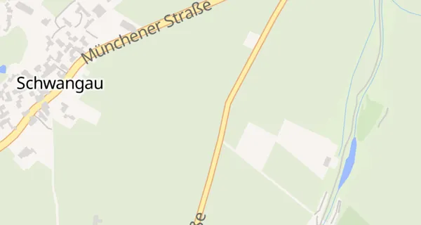
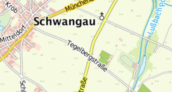
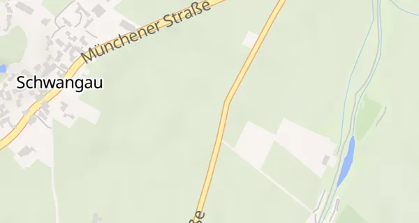
There are two fundamentally different kinds: raster maps are pre-drawn images (PNG/JPEG) — they look exactly as the provider drew them, but cannot be changed and get blurry when rotated or tilted. Vector maps deliver the raw geometry instead: roads, rivers and buildings as coordinates. The drawing happens on your device, with a style that defines colours and fonts. That is why vector maps stay razor-sharp at every zoom level and can be rotated, tilted and recoloured — TDM renders them with the open-source engine MapLibre.
See also: Why the maps are streamed live from the internet · Vector vs. raster maps · Map licences: Azure, HERE — and why there is no Google Maps
Why the maps are streamed live from the internet
Couldn't you just download “the whole map”? Do the maths: with every zoom level the number of tiles quadruples. At level 20 the earth is split into more than a trillion tiles — the satellite view of the whole world across all 20 zoom levels would occupy many petabytes, i.e. millions of gigabytes. More than any phone will ever hold.
That is why TDM streams the online maps live: only what you are looking at gets loaded. So that dead zones don't spoil the ride, the app remembers every tile it has ever loaded in the tile cache, and when you start a navigation it pre-loads the tiles along your route. For true offline areas there are the offline maps — compact packages per region.
See also: How maps get into the app: tiles and tile servers · Cached map data · How the offline maps are built
Map licences: Azure, HERE — and why there is no Google Maps
Not every map is free: the maps from Microsoft Azure Maps and HERE are commercial services. Every loaded tile and every route calculation goes through an API key and is paid for. These views (and the corresponding online routers) are therefore only available to signed-in users — in guest mode TDM switches to the free OSM maps.
And Google Maps? Google permits the use of its maps exclusively through Google's own apps and SDKs. Embedding Google tiles in a third-party map engine such as MapLibre — let alone storing them for offline use — is expressly forbidden by its terms of service. So there must not be any Google map material in TDM.
The free alternatives are first-class: OpenStreetMap is maintained by millions of volunteers and, especially for small roads, is often more up to date than the commercial providers.
See also: Azure Maps · HERE Maps · Routing profiles & providers
How the offline maps are built
Behind every offline region there are two separate packages that the app downloads together: a display package and a routing package. The display package is a vector map (PMTiles format, up to zoom 14) — the geometry for drawing. The routing package instead contains a routable road graph for the offline routing engine Valhalla: turn restrictions, one-way streets, speeds. Drawing and route calculation need completely different data structures — hence the separation. For you it stays one entry with one download button.
On top of that comes the worldwide base map (zoom 0–8): it sits as a slightly dimmed background underneath your detail region, so that outside it the world stays visible instead of grey emptiness — the detail region stands out as a brighter island. Map style, fonts and symbols are built into the app; the packages only deliver data.
See also: No signal? Integrated offline routing · Worldwide base map · Elevation model, hillshading and 3D · Local map material: routing vs. display
Elevation model, hillshading and 3D
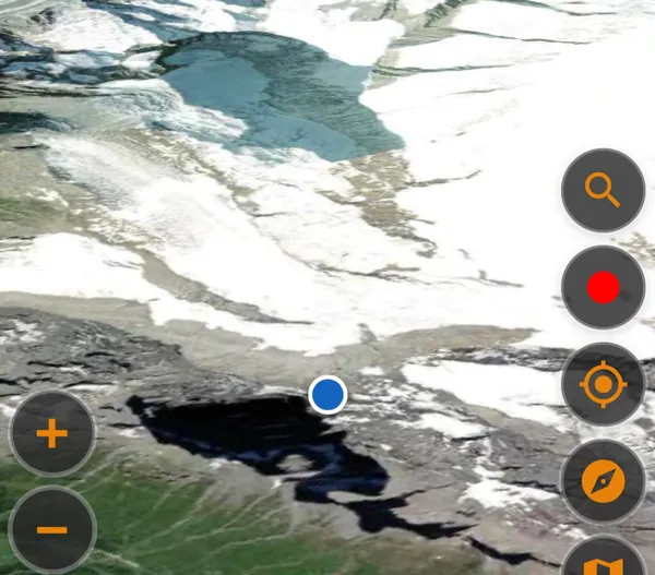
The terrain relief (“hillshading”) is computed from a digital elevation model: tiles in which every pixel encodes a height instead of a colour — TDM uses the freely available AWS terrain tiles. From these heights the map engine computes light and shadow live, as if the sun stood in the northwest: valleys and ridges become plastic without changing the map itself. The same elevation model drives the 3D terrain — the map becomes a surface you can tilt, with globe and atmosphere when zooming out.
For the road there is the relief as an offline package too — with a trick: TDM encodes the heights more compactly than the standard format (whose finest bits carry only noise) and clamps the sea floor to 0 m; the package shrinks to about one sixth. Two variants are available: all regions at medium resolution, or core Europe at high resolution.
See also: Relief – terrain you can see · 3D maps and globe · How the offline maps are built
The super-curve layers
The “curvy roads” overlay comes from a dedicated data pipeline based on OpenStreetMap: for every road, a curviness score is computed from its geometry — the tighter and more frequent the corners, the higher. Roundabouts, traffic lights and traffic-calmed sections don't count, unpaved roads are dropped entirely. What remains are three tiers: amber (curvy), orange (very curvy) and magenta (extremely curvy) — classified by score and curve density per kilometre, so that neither hilly regions flood the map nor short serpentine bursts get lost.
Zoomed out, the map shows only the top tier; zooming in adds the others. The three tiers can be toggled individually in the map picker — and the same data also feeds KAKIMOTO routing.
See also: KAKIMOTO: the curve lottery · The map catalog
KAKIMOTO: the curve lottery
KAKIMOTO is TDM's most playful routing option — a curve lottery for motorcyclists. The app first plans a super-curvy base route to your destination. Then it draws additional curve segments from the super-curve data within a corridor along the route and weaves them in so that they are actually ridden through — not just touched. A detour budget keeps the tour reasonable: roughly a third more distance than the base route.
The best part: every roll is different. If you don't like the result, just roll again — and get a new combination of curve segments. KAKIMOTO runs on the offline routing engine (Valhalla) with the motorcycle profile, so you need the region's offline maps and the super-curve data.
See also: The super-curve layers · No signal? Integrated offline routing · Routing from pass to pass